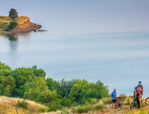
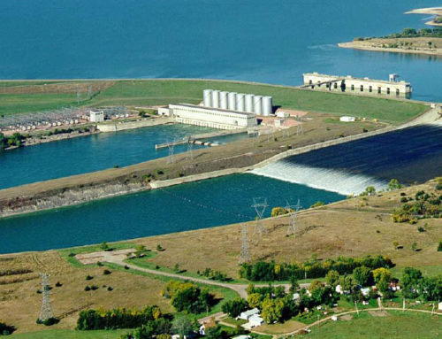
Lake Sharpe flows for 80 miles from Oahe Dam at Pierre to Big Bend Dam at Fort Thompson. One of South Dakota’s many intriguing geological features is a loop in the river called Big Bend. At the narrowest point (known as the Narrows), steamboat passengers often disembarked to stretch their legs as the crew proceeded 20 miles around the loop. Today you won’t need a steamboat; drive north of the tribal community of Lower Brule to the Narrows Historical Interpretive Area. If the gate to the parking lot is locked, go to the nearby Lower Brule Wildlife Office and inquire about access. A short trail leads to a summit with a panoramic view of what may be the longest loop on any river in America


